
EVO Max 4N
See the Unseen

No Blind Spots

Superior Anti-Interference Capability

High-Precision Visual Navigation

A-Mesh Networking

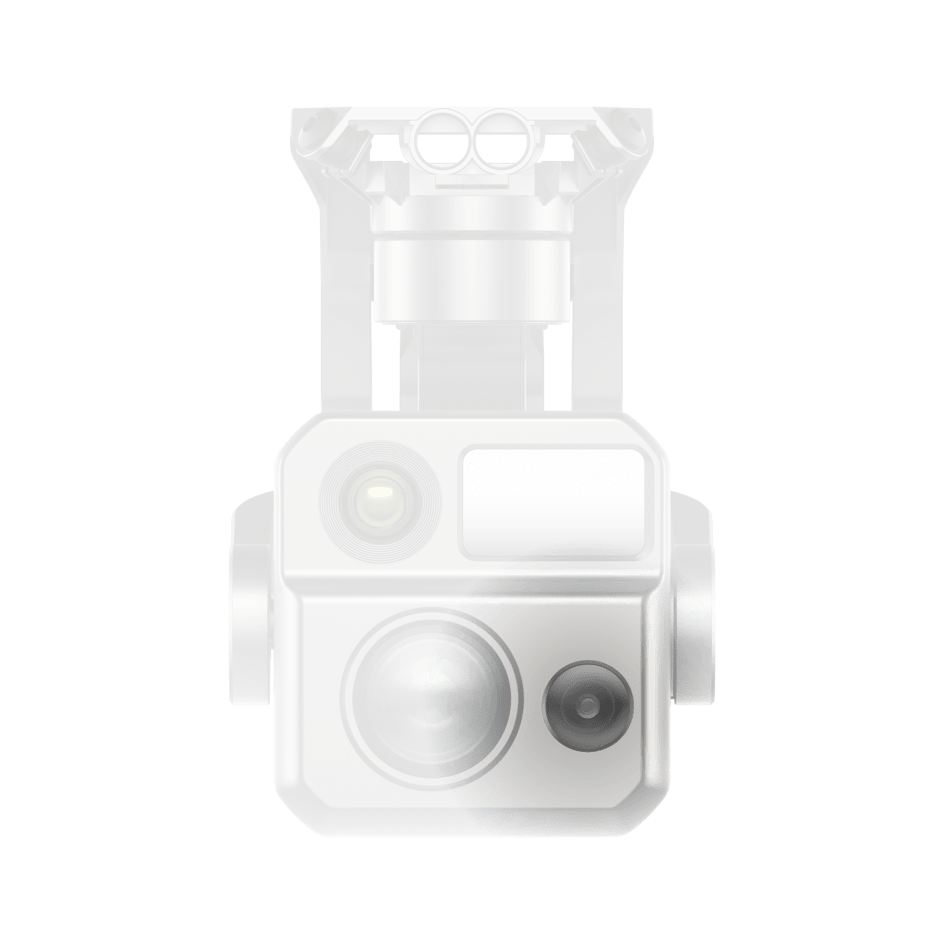
Starlight Vision Camera

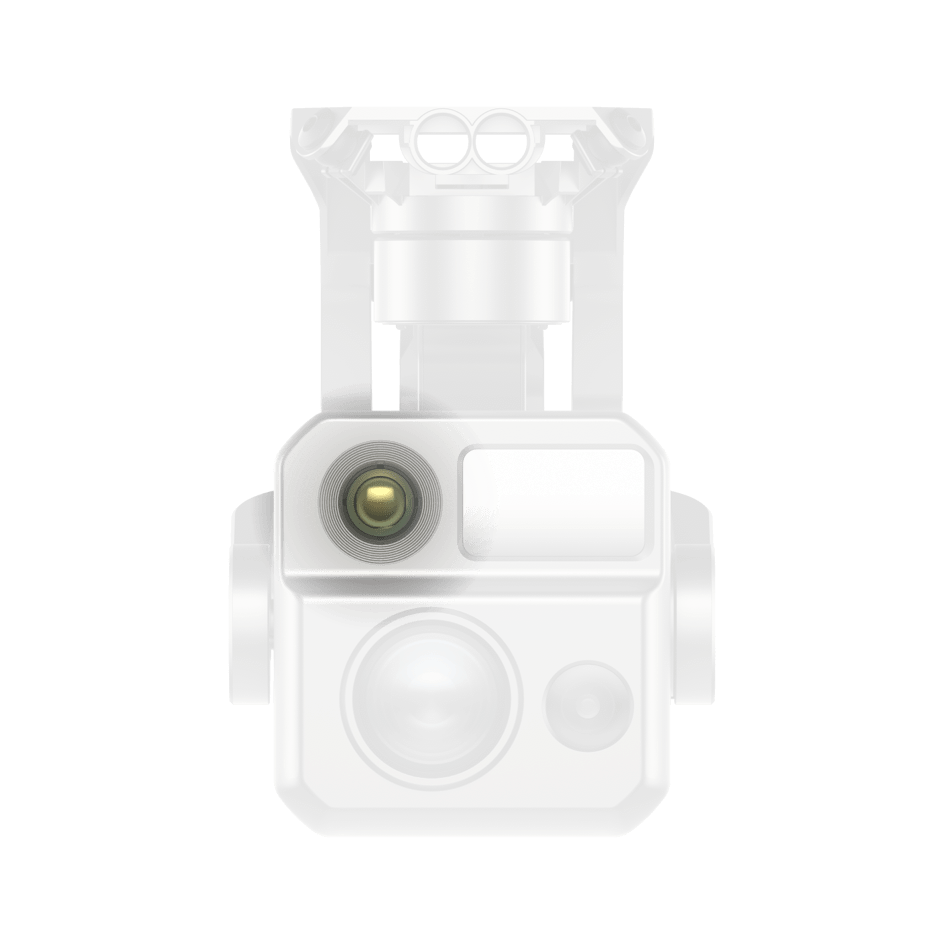
S5 km Night Vision Reconnaissance

AI Target Recognition

Hot-Swappable Battery

15 km Transmission Range

42 min Max. Flight Time
Explore the Night

16.4–3737 ft
± (1 m + D×0.15%)
16.4–3737 ft
± (1 m + D×0.15%)

Unlock New Night Time Capability

No Blind Spots Ultimate Obstacle Avoidance
The EVO Max series is the commercial drone that combines traditional binocular vision systems with millimeter wave radar technology. This allows the onboard Autel Autonomy Engine to perceive objects down to 0.5 inches, eliminating blind spots and enabling operation in low light or rainy conditions.
Anti Interference
The EVO Max 4N uses advanced flight control modules and algorithms that can identify flight control interference signals and satellite positioning interference signals. This enables the EVO Max 4N to fly confidently near power lines, critical structures, and in complex areas.
A-Mesh Networking Solution
EVO Max series features the new A-Mesh system, enabling drone-to-drone autonomous communication, connection, and collaboration.

Zonal Operations
Supports dual-controller operation with two aircraft, enabling zonal UAV missions to enhance flight efficiency. It also allows collaborative obstacle avoidance between networked UAVs, ensuring flight safety.

Information Sharing
Within the network, both remote controllers can simultaneously view the UAV’s live feed. The AI target recognition function used on the primary remote controller is also synchronized on the secondary remote controller. Additionally, both controllers support PinPoint positioning.

Relay Operations
In scenarios with signal obstructions or weak signals, such as mountainous terrain or remote areas, a UAV can be rapidly deployed as a mobile relay communication node, providing reliable signal support for another mission UAV operating at a distant location, effectively expanding communication coverage.
Applications


Contact us now to find out moreabout the EVO Max 4N
* Before conducting flight operations, users must familiarize themselves with and comply with relevant local laws and regulations. Ensure the aircraft has obtained the necessary certifications and legal airspace permissions.
* The parameters and specifications listed on this page are based on results measured under controlled testing conditions using the Autel Mapper. Please note that results may vary under different external environmental conditions, usage methods, and firmware versions. Therefore, actual user experience should take precedence.
* Regarding flight time, the data is obtained under conditions with no wind or other flight interferences, with the aircraft's obstacle avoidance behavior set to braking mode, and the camera performing photo capture only. The aircraft flies continuously at 8 m/s at sea level until the battery reaches 0% capacity. This data is for reference only. To ensure flight safety, users should closely monitor the App's notifications during actual flight operations.
* According to relevant laws and regulations, countries such as China and South Korea only permit the use of downward-facing 24G radar (i.e., millimeter-wave radar installed on the underside of the aircraft for downward detection). For specific usage requirements, please refer to the laws and regulations of the respective country.
* Refers to the maximum wind speed the UAV can withstand in fixed-wing mode.
* If you need more information,please contact our sales team.